MONASTIC BANAGHER IN THE 1620’s
25th Nov 2025
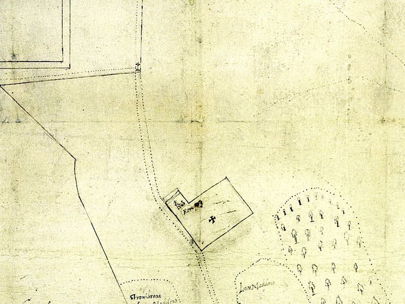
Four different maps from De Renzy Maps show a cross located at the junction of the Birr Road and Middle road/St Rynaghs road. (St Paul’s Church). One map clearly shows this cross as being cruciform. The presence of a cross in such a location makes a definite statement about the settlement at that time. All of the seven De Renzy maps of Banagher show an extensive area of land marked as Abbeyland. One document in the Ms show clearly that the area of Abbeylands was 115 statute acres. Read more >>